Geodrones: Know Drone Flight Restrictions and Share Aerial Footage
Geodrones is an iPhone app developed by Nicolas PLANCHET that allows drone enthusiasts to easily access and navigate drone flight restriction zones in France. With the app's geolocation feature, users can quickly find out if they are in an area where drone flying is restricted. Additionally, the app offers a search function that allows users to enter an address and discover any flight restrictions associated with that location.
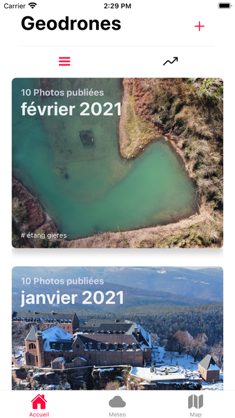
One of the standout features of Geodrones is the ability to share your best aerial footage with other users. Whether you've captured stunning landscapes or unique perspectives, you can showcase your work within the app and connect with fellow drone enthusiasts.